GIS for Waste Management
Collection points, service boundaries, transfer stations, and trucks all sit somewhere. We put them into one GIS so you can see what is covered, what is not, and where routes are wasting fuel.
Spatial Intelligence
How GIS Transforms Waste Management
Bins, roads, housing clusters, collection sectors, trucks, transfer stations, and landfill sites all have a location.
GIS ties them together into a single view of waste operations, whether you run a municipal council or a private concession.
Mapped and analysed, the data shows where waste is generated, which areas get served, how sectors are drawn, and how trucks actually move through the road network.
Add GPS tracking and you can watch collections happen in real time, and see where routes overlap.
Coverage you can check
Where the bins are and which area each truck serves. Gaps show up immediately.
Routes built for real roads
Route planning around road width, turning restrictions, one-way streets, and bin density.
Siting with buffers
Suitability analysis for new transfer stations and landfills, with residential and environmental buffers built in.
Core Capabilities
WhereGISMakesanImpactinWasteManagementTargeted geospatial modules engineered to solve distinct operational challenges.
Waste collection-point mapping
Communal bins, commercial waste points, and specialised receptacles, geocoded.
Bin and facility inventory
Capacity, type, installation date, and maintenance status held against each bin.
Waste service-area delineation
Reachability polygons and travel-time catchments, so workload is balanced between crews.
Waste distribution and generation analysis
Correlate population density and commercial activity with expected tonnage.
Hotspot and pattern analysis
Find chronic illegal dumping sites and overloaded collection centres.
Facility suitability and siting
Assess topography, geology, water table, and proximity constraints before a site is chosen.
Collection route and network modelling
Shortest-path and minimal-turn sequences for compactor trucks, to cut fuel use.
Accessibility and proximity analysis
Walking distance from homes to the nearest disposal point.
GIS-based site selection support
Multi-criteria spatial decision support for local authorities and environmental consultants.
Spatial database development
Municipal-grade geodatabases that work with asset management and billing systems.
Interactive waste-management web maps
Browser portals where field coordinators see collection zones and route progress.
Dashboards and operational analytics
Coverage percentage, bin pick-up times, and fleet utilisation in one view.
COVERAGE
Waste collection and service area mapping
Collection depends on geography. GIS maps the collection points and draws the territory each contractor or municipal division actually serves. Service-area analysis then shows what is covered, which pockets are missed, how many people each vehicle serves, and how far residents walk to the nearest bin.
- Service-area boundaries drawn from travel time
- Identification of unserved and underserved zones
- Distribution of communal bins and sorting centres
- Walking distance from households to collection points
WHERE FACILITIES GO
Facility mapping and siting
Treatment plants, transfer stations, and disposal sites are hard to relocate once built. Planners can test proposed sites against residential buffers, primary road access, land-use restrictions, aquifer depth, and protected areas before committing.
- Buffer analysis against statutory separation distances
- Heavy vehicle access and turning radius checks
- Avoidance of sensitive ecological zones
- Suitability modelling that ranks candidate parcels
Visual Intelligence
Spatial Data in Action
Sample satellite interpretations, thematic layers, and spatial network models.
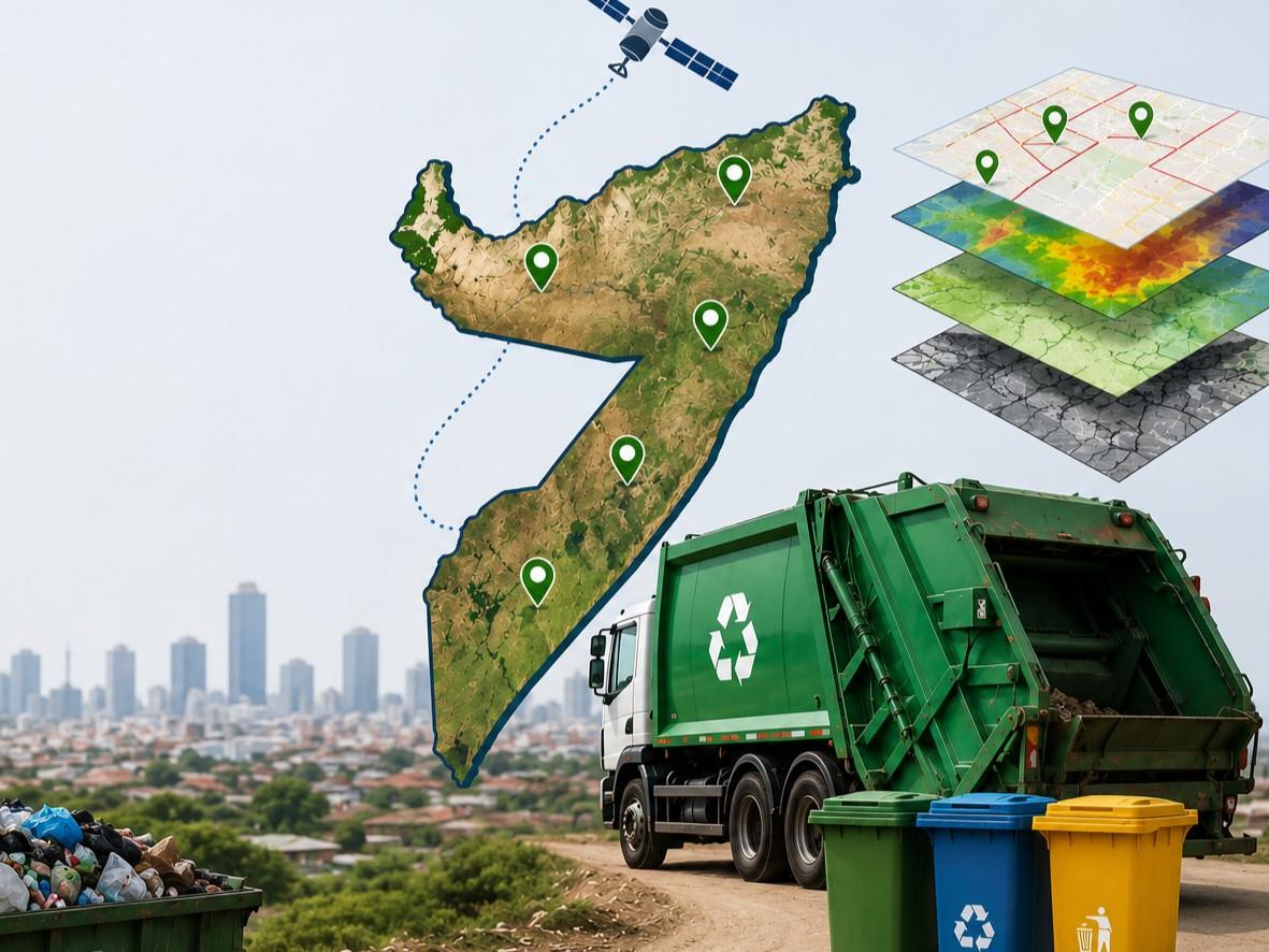
Waste operations in one view
Satellite tracking and multi-layer GIS mapping for municipal waste operations.
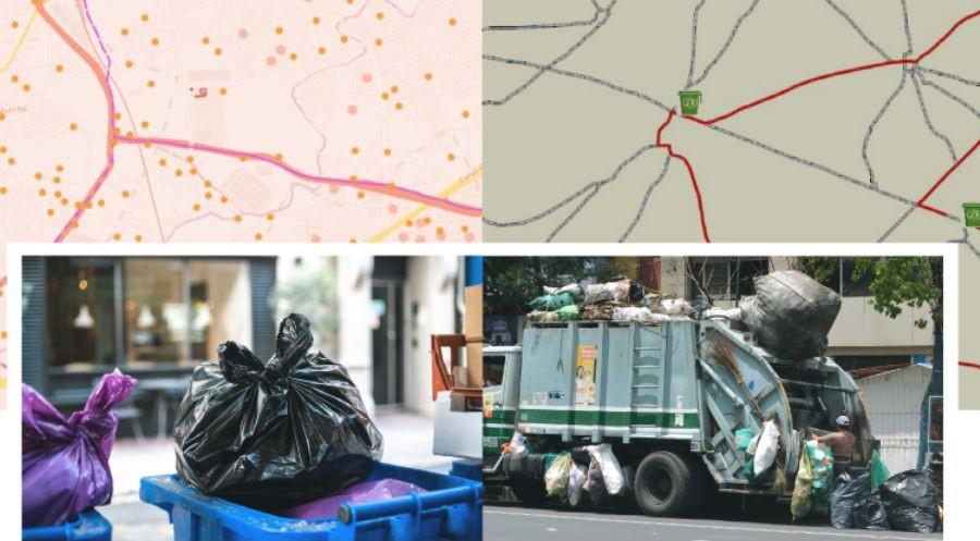
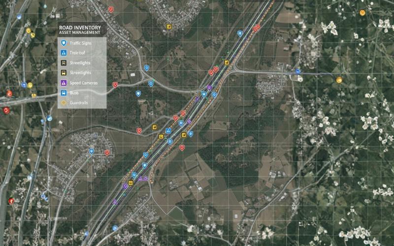
Route network and bin points
Road network analysis showing collection points, routing paths, and truck movements.
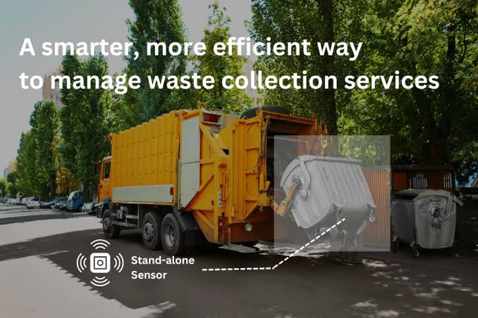
Facility siting survey
Environmental buffer assessment for transfer stations and landfill sites.
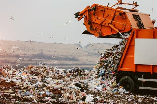
Fleet and bin coordination
Bin inventory and collection fleet dispatching across urban districts.
What Sala GIS Provides
Our GIS Services for Waste Management
“Collection points, service boundaries, and vehicle networks, held in one system.”
Need customer-specific customization or on-site GIS field deployment?
Discuss Your ScopeConnected Capabilities
Explore Other GIS Applications

Want to see where your routes are losing time?
Send us your collection area and schedule. We will show you what the network looks like and where the gaps are.