GIS and Tracking for Transportation
Roads, fleets, transit routes, and roadside assets form a network. We combine that network with live GPS data and spatial analysis, so you can see where vehicles are, how routes perform, and what is on the road.
Spatial Intelligence
How GIS Transforms Transportation
Roads, fleets, transit corridors, logistics terminals, parking, and roadside infrastructure are all linked by geography.
GIS is where that network gets mapped, modelled, and maintained.
Add GPS hardware and vehicle tracking, and you get a live view of where everything is moving.
Modelled as a network, the same data answers questions about road condition, capacity, turning restrictions, travel times, and connectivity.
Live vehicle tracking
Current position, route history, speed, and geofence alerts for every vehicle in the fleet.
Network analysis and routing
Routing that accounts for road class, weight limits, turning restrictions, and congestion.
Roadside asset inventory
Signs, cameras, streetlights, bridges, and guardrails recorded against a location.
Core Capabilities
WhereGISMakesanImpactinTransportationTargeted geospatial modules engineered to solve distinct operational challenges.
GPS-based vehicle tracking
Vehicle positions on your own base maps, updated continuously.
Fleet monitoring
Ignition, speed, idle time, and driver behaviour, in one portal.
Vehicle and asset tracking
Heavy machinery, trailers, refrigerated containers, and delivery vans.
Transportation network mapping
Road layers with directionality, turn restrictions, speed limits, and surface condition.
Route planning and analysis
Multi-stop sequencing that cuts mileage, fuel, and missed delivery windows.
Road-network analysis
Shortest path, fastest path, and alternative routes for emergencies.
Accessibility and proximity analysis
Isochrones showing how far you can reach from a depot in a given time.
Service-area analysis
Delivery coverage zones and the fleet capacity each one needs.
Infrastructure mapping
Bridges, toll plazas, bus stations, level crossings, and pedestrian overpasses.
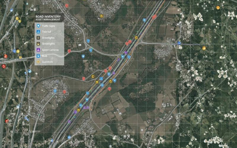
Road inventory asset management
Field inventory of signage, guardrails, speed cameras, and lighting.
Traffic and corridor analysis
Recurring bottlenecks, accident hotspots, and freight densities along highway routes.
Interactive transportation web maps
Dispatch consoles that let controllers manage vehicle movements on a map.
LIVE FLEET DATA
GPS and vehicle tracking
GPS units report position and vehicle diagnostics continuously. GIS puts that on a map, so operations teams can see where the fleet is and how it is moving. That supports live route monitoring, playback, driver accountability, and quick response when a schedule slips.
- Live vehicle positions on detailed maps
- Route compliance and unauthorised stop alerts
- Historical playback with speed and mileage
- Geofences around depots, customers, and restricted corridors
THE ROAD ITSELF
Road network analysis and asset management
Roads need an inventory as much as a route. We map bridges, signs, cameras, bus bays, and streetlights, and link each one to a record in the geodatabase. From there, network analysis answers questions about corridor efficiency and maintenance scheduling.
- Road inventory mapping for signs, cameras, lighting, and barriers
- Shortest-path and multi-drop freight routing
- Traffic flow modelling and corridor capacity
- Highway condition assessment and maintenance scheduling
Visual Intelligence
Spatial Data in Action
Sample satellite interpretations, thematic layers, and spatial network models.
Road inventory and assets
Signs, speed cameras, streetlights, and guardrails, mapped and classified.
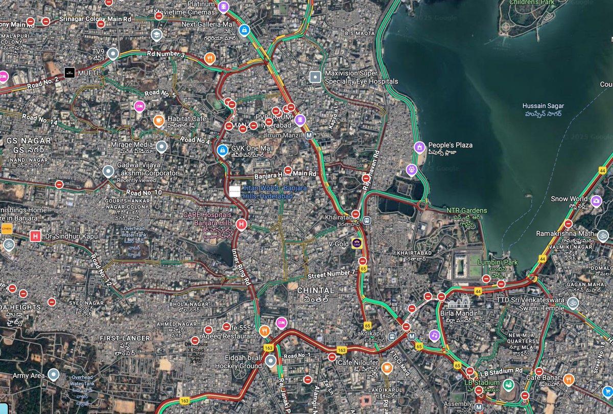
Urban road network
Arterial routes connecting key destinations and transit facilities.
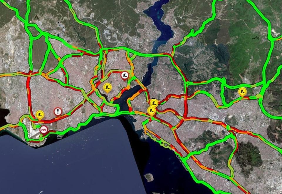
Fleet tracking and route checks
Vehicle telemetry compared against planned routes.
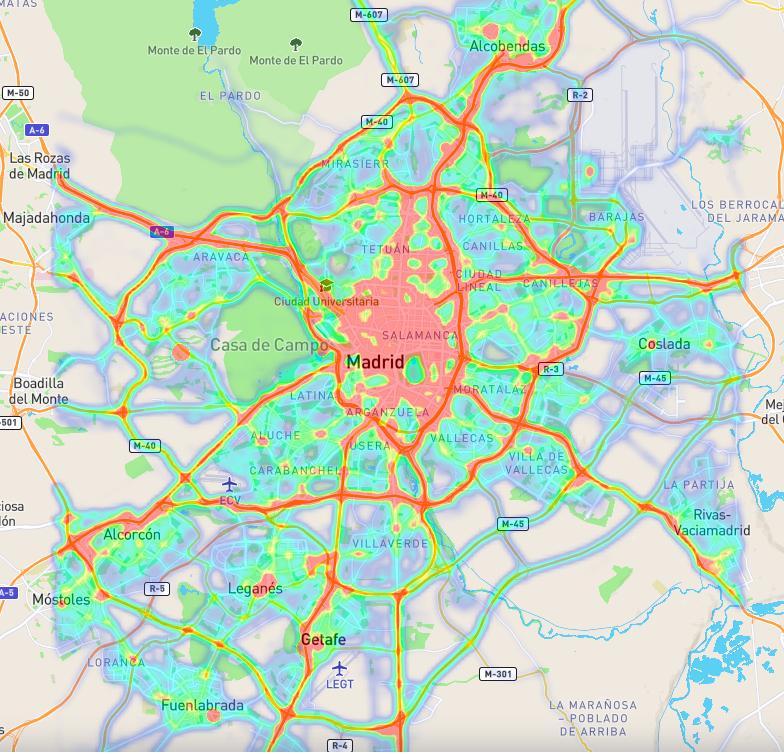
Expressway corridors
Regional highway corridors and inter-provincial freight movement.
What Sala GIS Provides
Our GIS Services for Transportation
“Vehicles, roads, routes, and locations, held in one spatial view of how things move.”
Need customer-specific customization or on-site GIS field deployment?
Discuss Your ScopeConnected Capabilities
Explore Other GIS Applications

Want to see where your fleet actually goes?
Send us your route list or depot locations and we will map the network and show you what the data says.