GIS for Agriculture
Soil, water, slope, and crop condition change from field to field. We map that variation using satellite imagery, GPS field surveys, and spatial analysis, so you can see which blocks are doing well and which need attention.
Spatial Intelligence
How GIS Transforms Agriculture
Soil, water, slope, and crop condition vary across a property. Sometimes they vary within a single field.
A GIS lets you collect, store, and view that information on a map, instead of in separate spreadsheets and record books.
Combined with satellite imagery, GPS, and field surveys, it lets you track conditions across large areas over several seasons.
The result is a map that shows where yields drop, where water pools, and which blocks need attention. Those patterns are hard to spot in a table.
All layers in one place
Soil, elevation, slope, water, and land cover in a single coordinate system, so layers line up and can be compared.
Satellite monitoring over time
Multi-spectral imagery and NDVI show canopy vigor and crop stress through the season, without walking every field.
Planning from evidence
Suitability models, irrigation routing, and intervention plans built from what the data actually shows.
Core Capabilities
WhereGISMakesanImpactinAgricultureTargeted geospatial modules engineered to solve distinct operational challenges.
Agricultural land mapping
Plot, estate, and smallholding boundaries drawn and classified.
Crop and vegetation monitoring
Track plant health and canopy density through the season using multi-band satellite imagery.
Land suitability assessment
Weigh soil, slope, rainfall, and sunlight to find which crops suit which blocks.
Land-use and land-cover mapping
Classify regional land patterns to track agricultural expansion, fallow land, and conservation areas.
Soil and terrain analysis
Slope, aspect, drainage, and erosion risk derived from digital elevation models.
Agricultural resource mapping
Where the reservoirs, canals, fertilizer depots, and processing plants are.
Irrigation and water-resource mapping
Catchments, canal networks, and soil moisture, mapped to plan water delivery.
Field boundary mapping
Accurate field perimeters for tenure records, subsidy administration, and precision farming.
Crop-area estimation
Acreage per crop, calculated from imagery, for harvest forecasts and supply planning.
Vegetation condition analysis
NDVI and related indices flag pest outbreaks and nutrient deficiencies early.
Agricultural change detection
Compare years of imagery to see land degradation, crop switching, and encroachment.
Accessibility and proximity analysis
Drive distance and travel time from farm to market.
Field data collection and mapping
Field officers record crop condition, soil samples, and pests on GPS-enabled devices.
Spatial database development
Agricultural records organised into a geodatabase you can query.
Agricultural web maps and dashboards
Browser maps for agronomists, managers, and stakeholders, updated from the same source data.
OBSERVATION FROM SPACE
Remote sensing and satellite data
Satellite imagery covers the same ground every few days. You do not need to visit every acre to know how it is doing. We process the imagery, run vegetation indices, and compare scenes across the season. The GIS holds it together, so you can compare blocks, spot trends, and hand someone a map.
- Multi-spectral imagery processing
- NDVI and related vegetation indices
- Seasonal crop cycle tracking
- Drought and irrigation deficit detection
FIELD DECISIONS
Supporting agricultural planning
GIS does not replace agronomy or field experience. It puts a spatial frame around both. The analysis shows which blocks share a micro-climate, where the assets are, and which zones need a site visit or a different fertilizer rate.
- Multi-criteria models for crop zoning
- Terrace and slope planning for soil conservation
- Field boundary digitisation for tenancy records
- GPS survey apps for agronomists
Visual Intelligence
Spatial Data in Action
Sample satellite interpretations, thematic layers, and spatial network models.
NDVI vegetation health mapping
Satellite analysis showing where crop vigor and growth vary across the parcel.
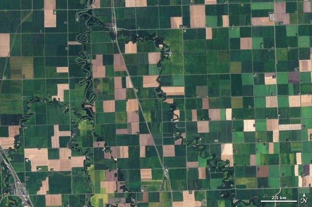
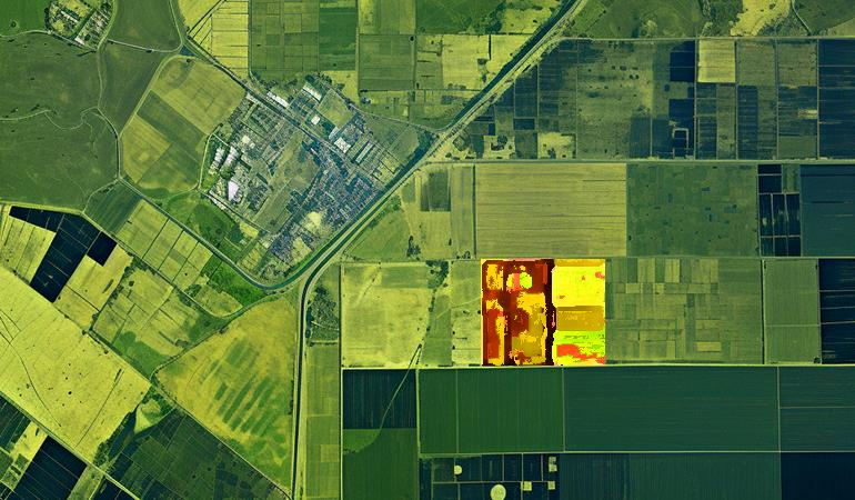
Parcel and cadastral mosaic
Aerial view showing parcel geometry, water canals, and road access.
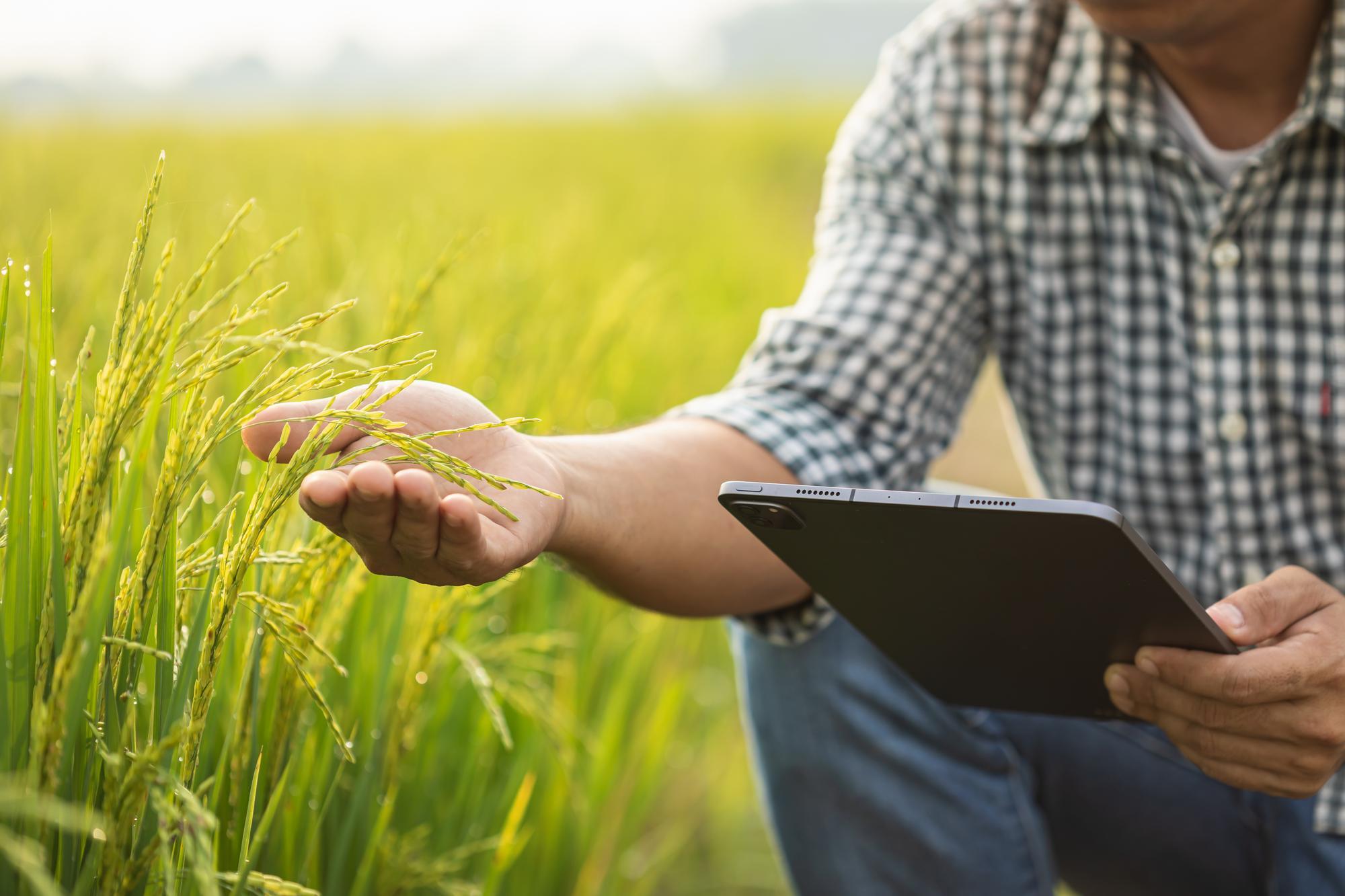
Field verification and crop scouting
Checking satellite predictions on the ground with tablet-based survey tools.
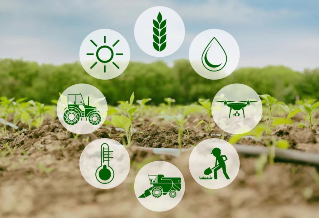
Connected farm workflow
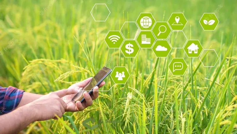
Climate, soil data, machinery, drone sensors, and GIS feeding one management process.
What Sala GIS Provides
Our GIS Services for Agriculture
“Field data, satellite imagery, and records, brought together as maps you can act on.”
Need customer-specific customization or on-site GIS field deployment?
Discuss Your Scope
Want to see your land on a map?
Send us a few details about your estate or programme and we will come back with what is feasible, what it costs, and how long it takes.