GIS for Tourism
Visitors move between attractions, hotels, transport links, and heritage sites. We map those places and the routes between them, then build web maps that travellers and planners can actually use.
Spatial Intelligence
How GIS Transforms Tourism
Tourists travel between attractions, accommodation, transport links, cultural sites, and natural areas.
GIS brings those scattered places together and presents them as one set of geographic information.
Mapped and analysed, it shows where destinations are, how transport corridors connect them, and how long it takes to get from one to the next.
Combined with GPS, remote sensing, and digital maps, that data feeds travel applications, digital guidebooks, and destination planning.
One registry of places
Cultural landmarks, viewpoints, hotels, and recreation sites recorded once, in one spatial register.
Corridors and itineraries
Drive times, scenic loops, multi-stop itineraries, and transit connections between regions.
Web maps people use
Interactive maps that let travellers and planners explore destinations by location.
Core Capabilities
WhereGISMakesanImpactinTourismTargeted geospatial modules engineered to solve distinct operational challenges.
Tourism attraction mapping
Natural, historical, adventure, and culinary attractions geocoded and categorised by district.
Destination mapping and zoning
Tourist zones, resort development corridors, and eco-tourism conservation perimeters.
Interactive tourism web maps
Web maps with filterable categories, descriptions, photos, and navigation.
Route and corridor analysis
Scenic coastal and hill country transit routes, assessed for visitor flow and travel fatigue.
Accessibility and proximity analysis
Travel time from the airport and transit hubs to each destination cluster.
Tourism infrastructure mapping
Tourist police posts, medical clinics, fuel stations, rest stops, and information desks.
Destination suitability analysis
Carrying capacity, road access, and natural features, weighed for new resort development.
Accommodation mapping
Certified hotels, boutique villas, eco-lodges, and homestays, with attributes attached.
GPS location services
Wayfinding for self-drive travellers, hiking trails, and heritage walking tours.
Location-based tourism information systems
Management databases for provincial tourism boards and destination organisations.
Spatial database development
Points of interest organised in open-standards databases with multilingual metadata.
Visitor dashboards and analytics
Visitor distribution, seasonal occupancy, and destination popularity, shown spatially.
MAPS FOR VISITORS
Interactive tourism web maps
A web map lets someone zoom in, search, filter by category, and see what else is nearby. That is more useful than a static list or a brochure, because it shows how each destination relates to transport and accommodation.
- Vector tile map interfaces that load quickly
- Popups with images, opening hours, and details
- Themed layers for heritage, wildlife, beaches, and hill country
- Works on mobile and desktop
GETTING BETWEEN PLACES
Route and accessibility analysis
Network analysis works out drive times, scenic detours, and which destinations cluster together. Tourism authorities use it to find congested corridors, decide where to put rest facilities, and spread visitors more evenly.
- Itinerary optimisation and travel time calculations
- Destination clusters and underserved regions
- Scenic corridor planning and signage placement
- Carrying capacity assessment
Visual Intelligence
Spatial Data in Action
Sample satellite interpretations, thematic layers, and spatial network models.
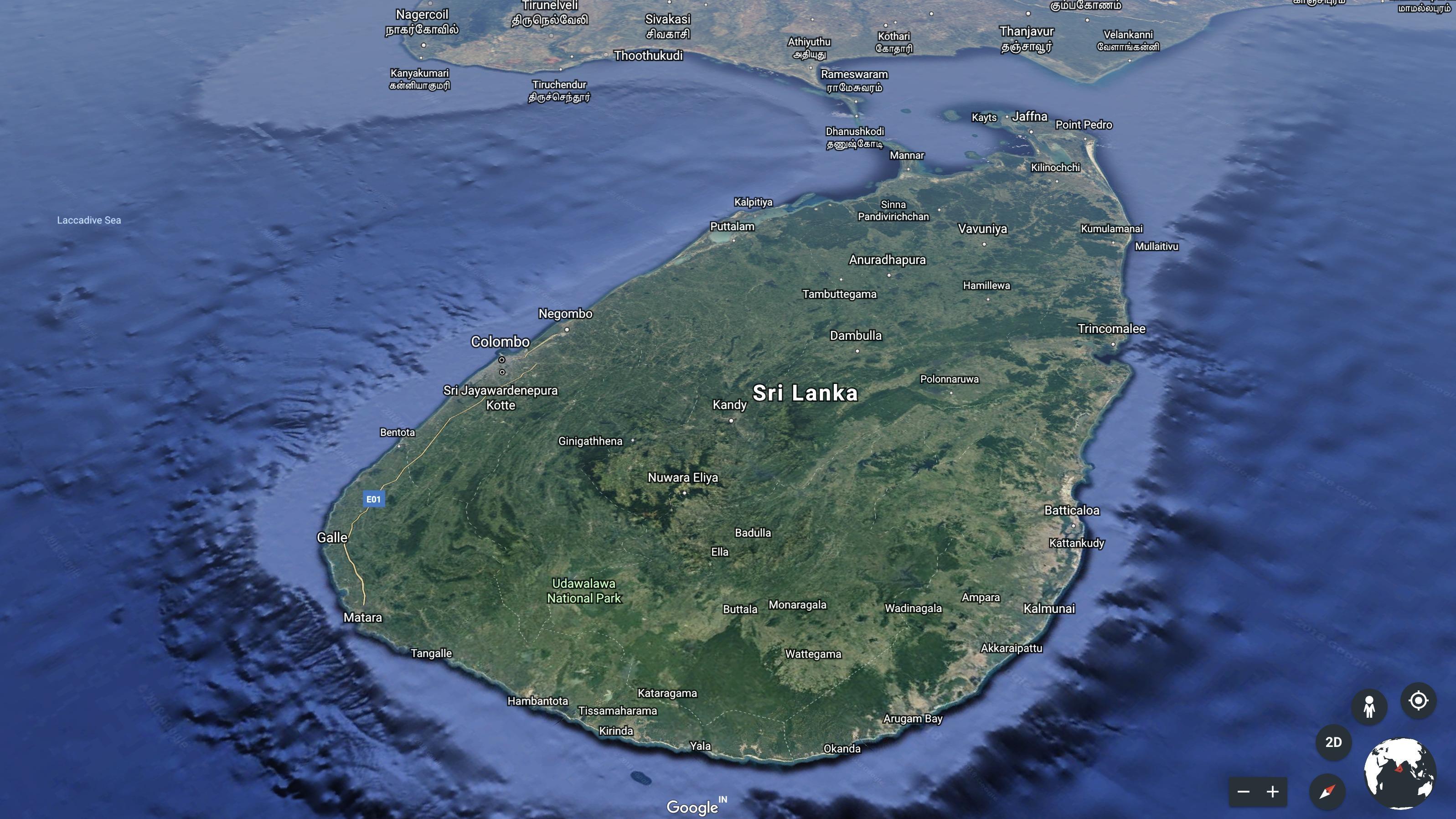
Island topography
The central highlands, coastal belts, and travel corridors in one view.
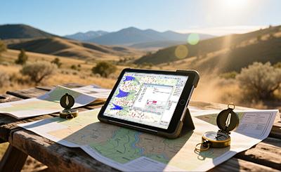
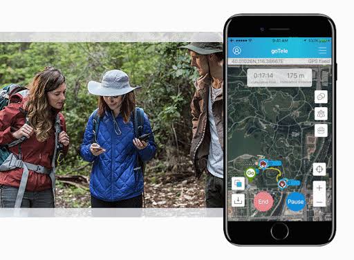
Trail and field navigation
Mobile GIS for outdoor trails, eco-tourism reserves, and field guides.
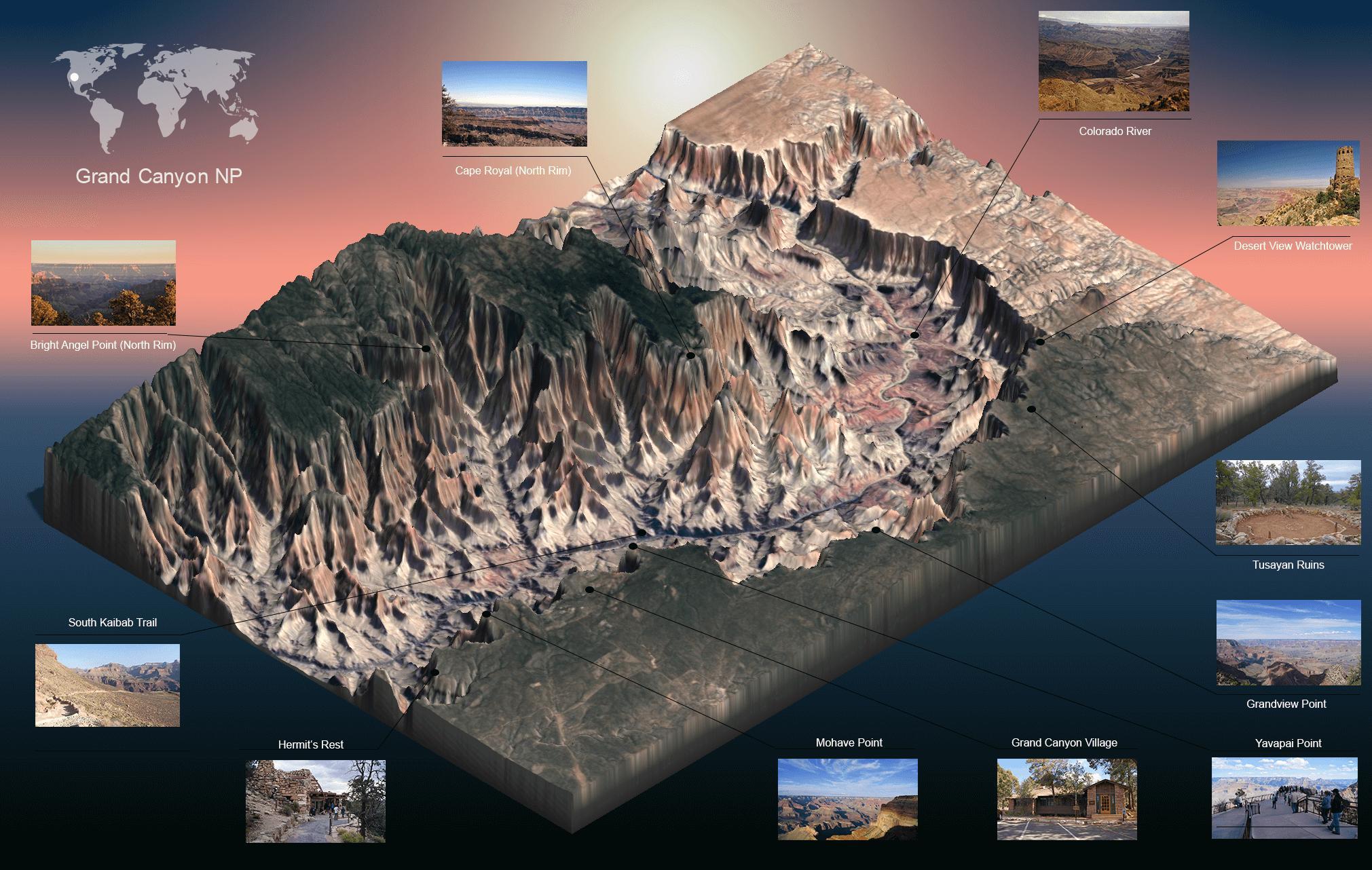
Heritage and cultural sites
Boundaries and records for archaeological reserves and sacred cities.
Coastal and marine assets
Beach frontage, marine sanctuaries, water sport zones, and shoreline hotels.
What Sala GIS Provides
Our GIS Services for Tourism
“Destinations and the routes between them, brought together in maps and location services.”
Need customer-specific customization or on-site GIS field deployment?
Discuss Your Scope
Building a destination map or travel platform?
Tell us which region or attractions you are working with, and we will suggest what the map should contain.